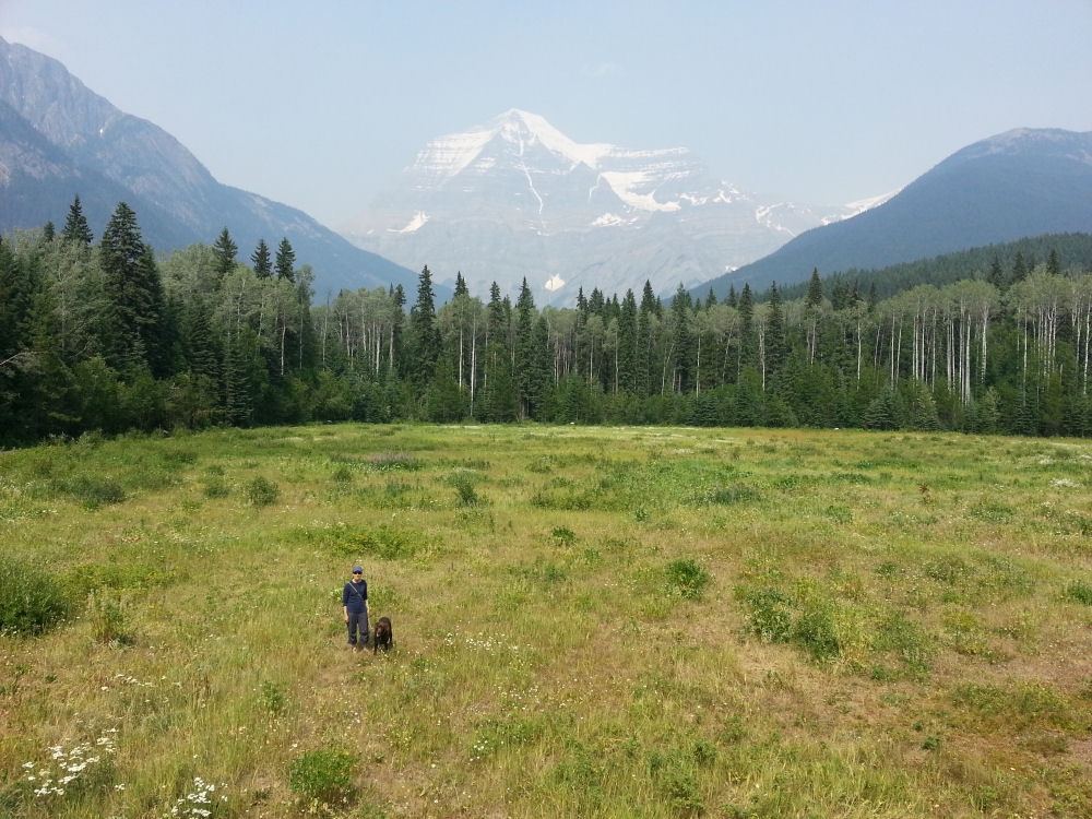
Candy and Jasper with Mt. Robson in the background. We stayed one night in the Robson area and hiked to Overlander Falls.
British Columbia is bounded on the east and west by mountains, and the vast interior is called the Inland Plateau, a hodgepodge of coniferous and deciduous forests, gorgeous rushing rivers and some of the biggest mosquitoes in the western hemisphere. Our trip north took us from Jasper up the Yellowhead Highway through Prince George, on to the Hazelton area and the Kispiox river valley, and then up the Stewart-Cassiar Highway to Yukon Territory. We decided to take the northern route to Alaska, via the Klondike Trail, which runs from Whitehorse to Dawson City, on the Yukon River 500 miles to the north. We spent two nights in Dawson City before heading over the Top of the World Highway to Alaska. Here is a little photo tour of this phase of our trip.
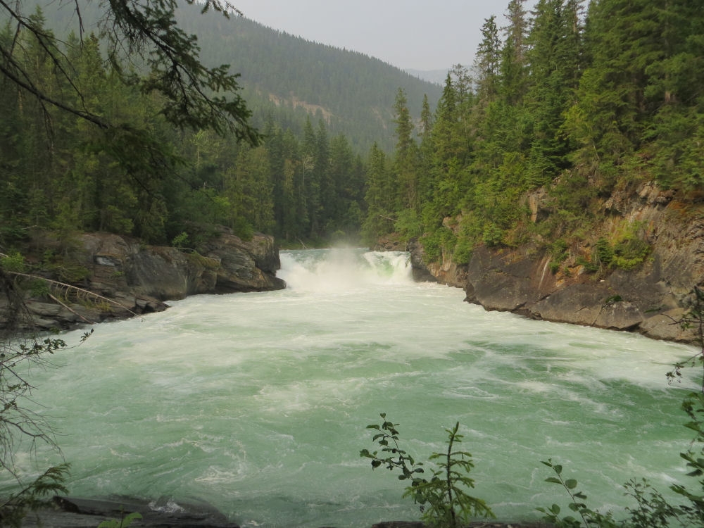
Overlander Falls is a crystal clear waterfall in the shadow of Mt. Robson.
The waters of Overlander Falls are as green and clear as you can possibly imagine.
This view downstream of Overlander Falls is a study in the unbelievable beauty of this place.
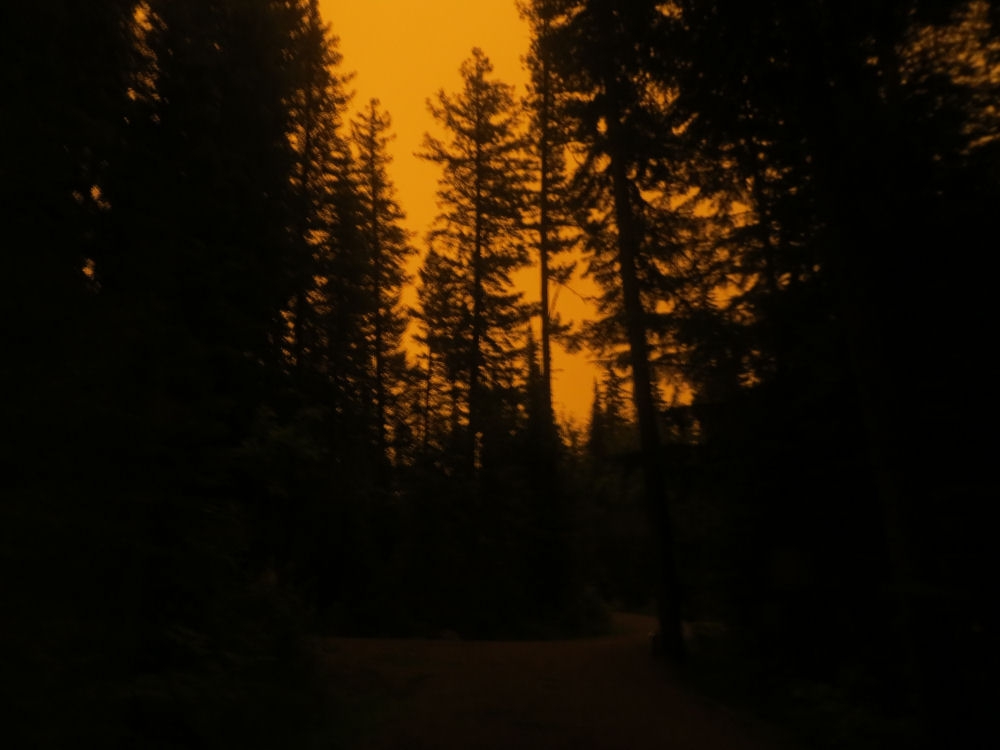
We experienced the most eerie morning at the Purden Lake Provincial Park campground. Smoke from forest fires blackened the sky. We honestly didn’t know whether we were heading into an inferno.
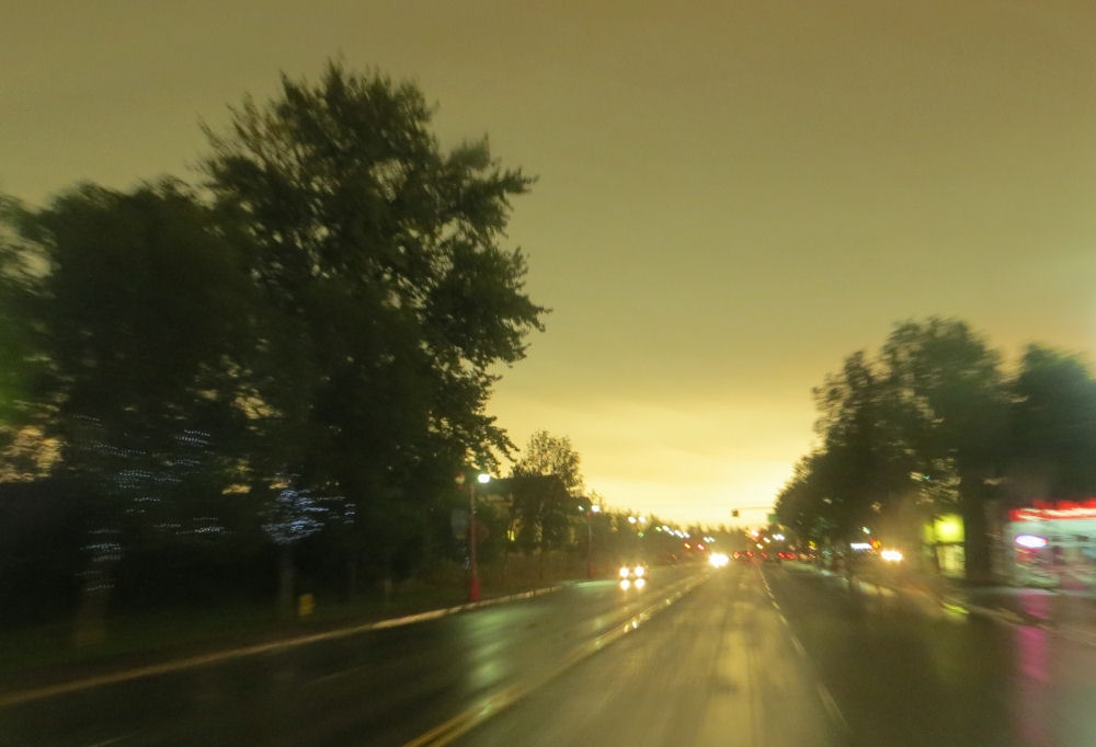
Smoke from local wildfires darkened the morning sky in Prince George, the largest city in the central BC region.
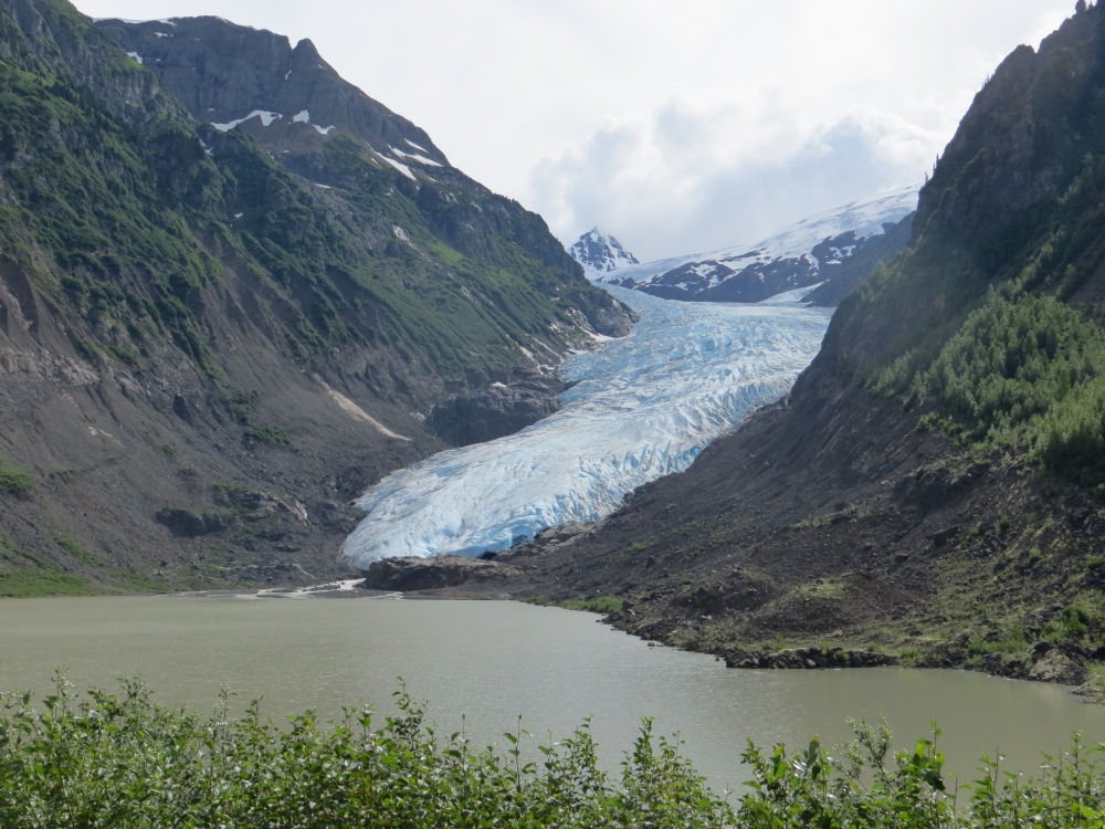
We took a side trip on our trip north from the Hazelton area to the Yukon, speidnig a night in Stewart, BC, a tiny outpost town with a port to the Pacific. We crossed the border briefly into Hydle, Alaska,, essentially a qhost town with no roads to anywhere. The road to Stewart has been called one of the most scenic highways in North America. We understood why. The road is flanked by towering mountains, glaciers and waterfalls.
This glacier opposite the Stewart highwway had blue ice showing through its dirty fissures.
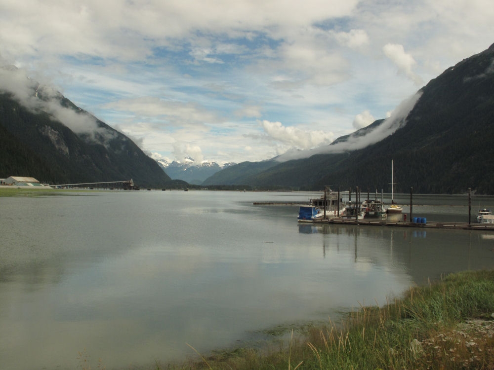
The road through Stewart ends at an incongruous parking lot on the canal. The view north to the city and the mountains beyond is worth a look.
These boats were moored at the dock here, south of town.
Our campsite, at the municipal campground in Stewart was like a scene from the “Lord of the Rings” films.
Our campsite on Kinaskan Lake, on the Cassiar Highway, was yet another perfect stopover on our way to the Yukon.
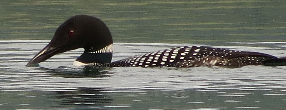
We were fortunate to have several loons land in the waters right in front of our campground. Canada’s national bird, the loon is featured on the one-dollar coin, the “Loonie.”
This group oof three loons came close enough for Candy to grab this group shot.
The roads in this part of the world are full of trucks loaded with lodgepole pine.
Fireweed, the ubiquitous purple flower of this region, grows wherever wildfires hae happened, and everywhere else. The natives make jelly from the blossoms.
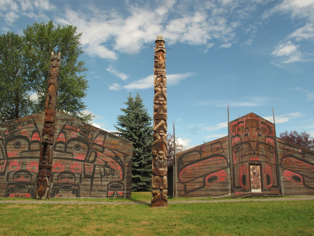
Our campsite in Hazelton, BC, was located adjacent to a museum complex of the local First Nations clan, complete with totem poles and traditional architecture and decorative arts.
Some modern-day versions of traditional Tlingit ceremonial masks, on exhibit in the Tlingit heritage center in Teslin, Yukon.
This attractive chapeau sits in a 20-ft. long hollowed out cedar-log canoe, at the Tlingit Heritage City in Teslin, YT.
This stern-wheeler has been restored to its 1930’s-era splendor and is on display as a museum on the Whitehorse waterfront.
The business end of the boat was powered by twin wood-fired steam engines.
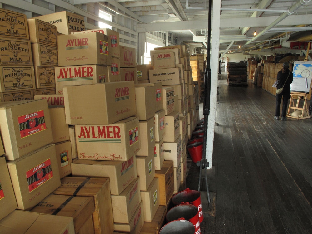
The hold of the boat was stacked with provisions and many cords of firewood for the boilers.
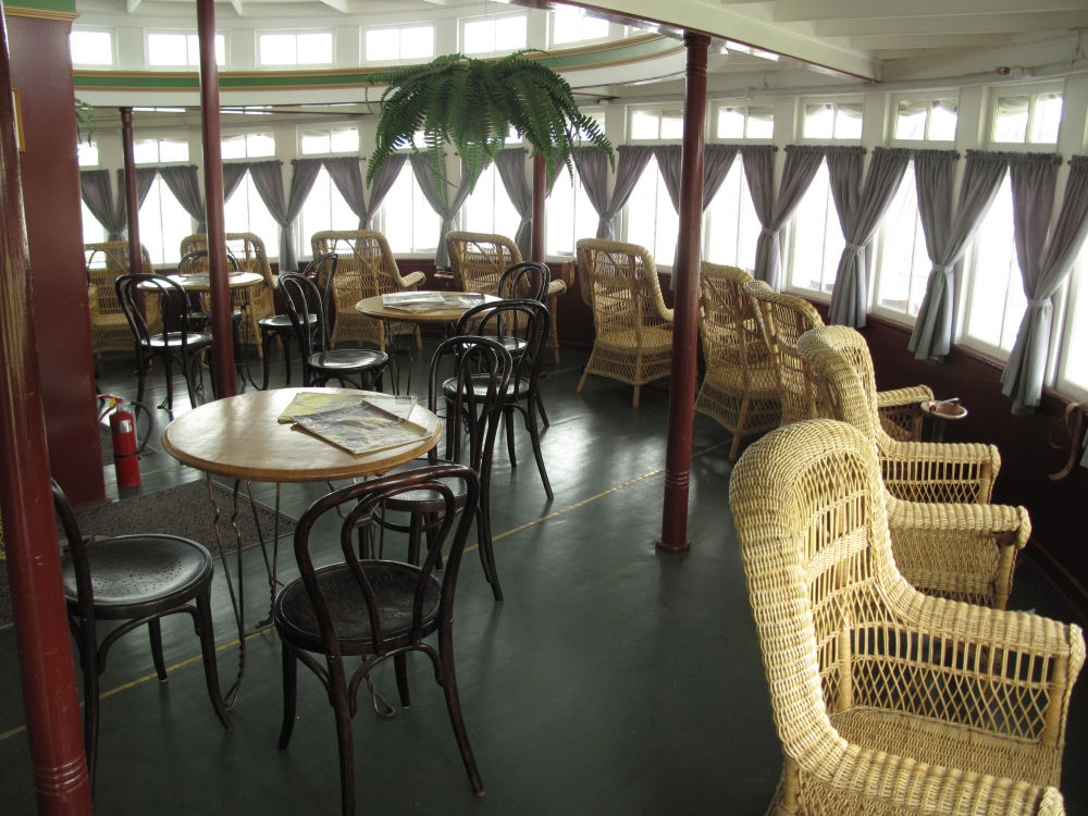
The salon deck of the steamship was tastefully appointed for the luxury of well-heeled guests.
This high-class saloon in Dawson City is frozen in time, just as it looked at the turn of the last century.
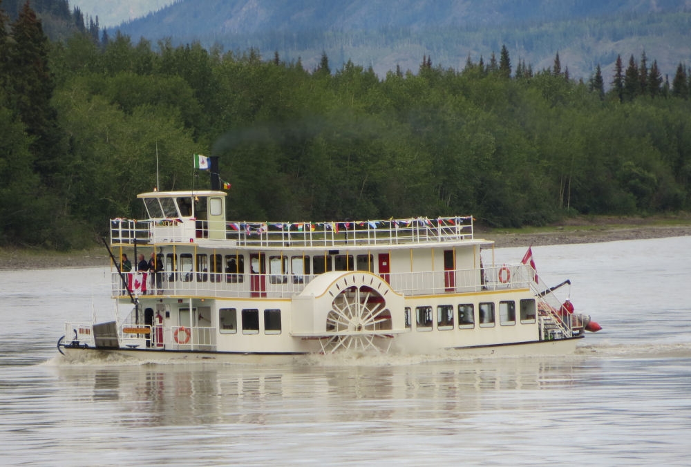
A modern stern-wheeler ferries people around the Dawson City area.
Dawson Citywas built on an area of permafrost, so many of the old buildings have caved in over the years as the frost has heaved the ground. Modern buildings here are built on sleepers right on the ground rather than on permanent foundations.
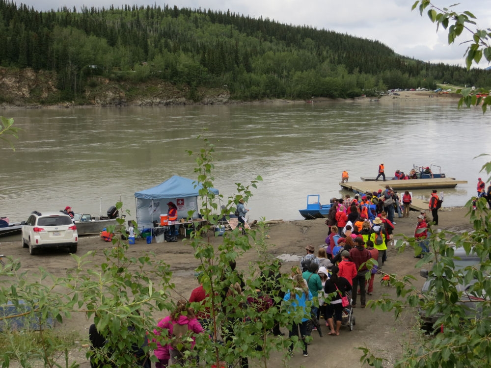
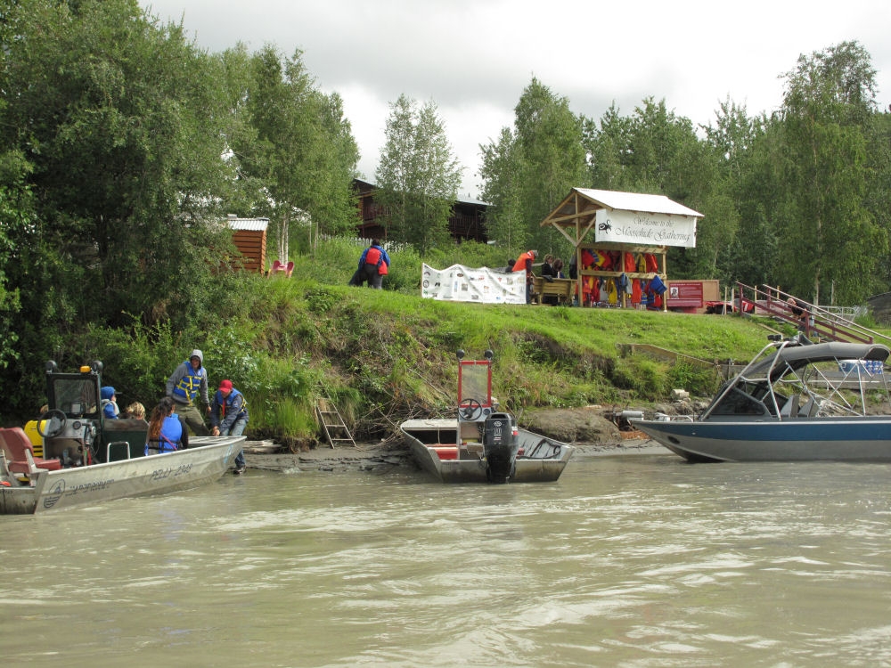
People lined up at the riverbank in Dawson City to be shuttled downriver to the annual Moosehide Gathering, on the banks of the Yukon River. This was the first year that the gathering was open to non-native visitors.
Visitors disembarking at the Moosehide Gathering.
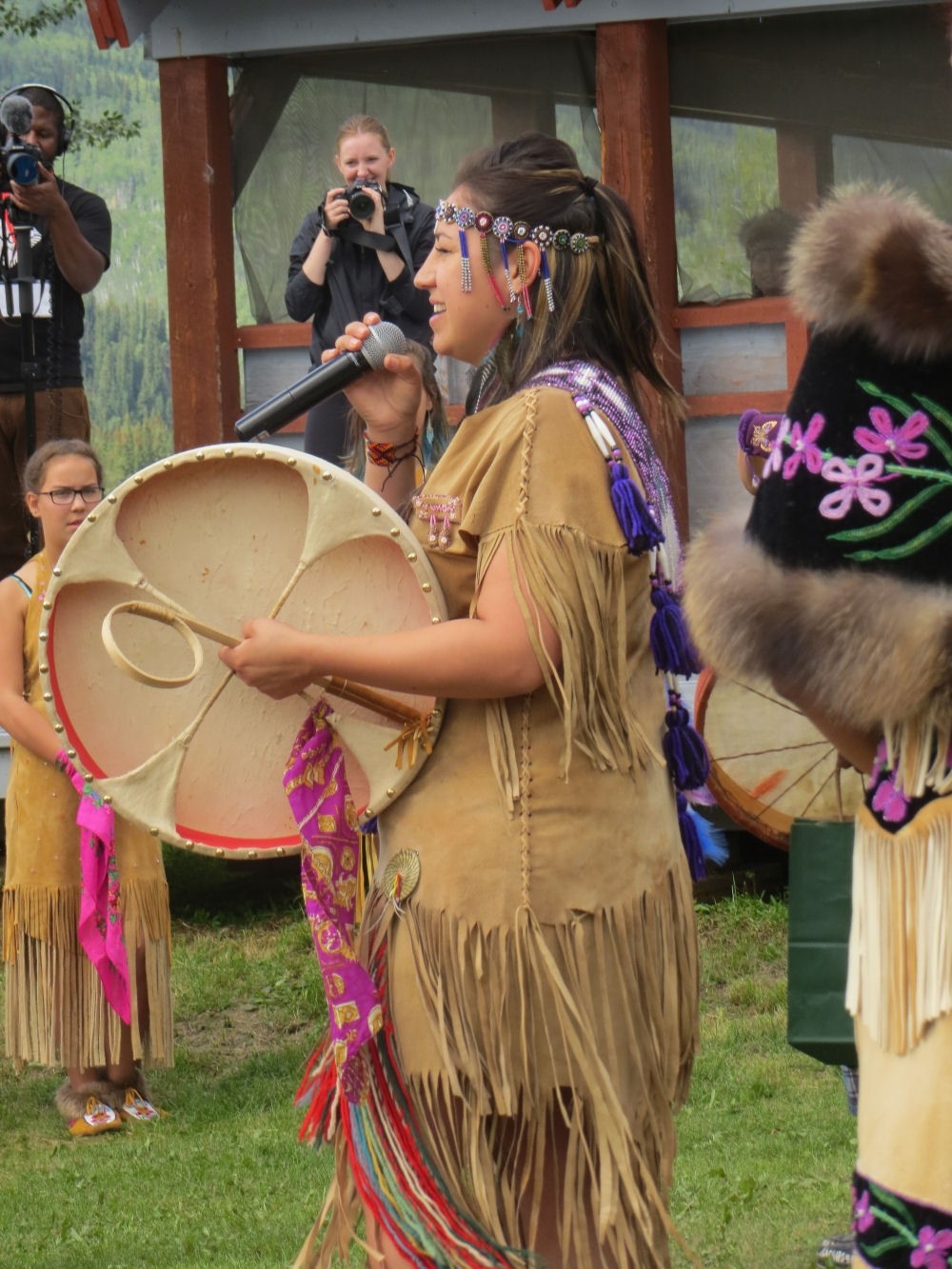
Dancers at the Moosehide Gathering. The festivities went on daily for almost a week, with natives arriving from other clans across Canada.
Dancer at the Moosehide Gathering.
Delphiniums adorn the city park on Front Street in Dawson City.
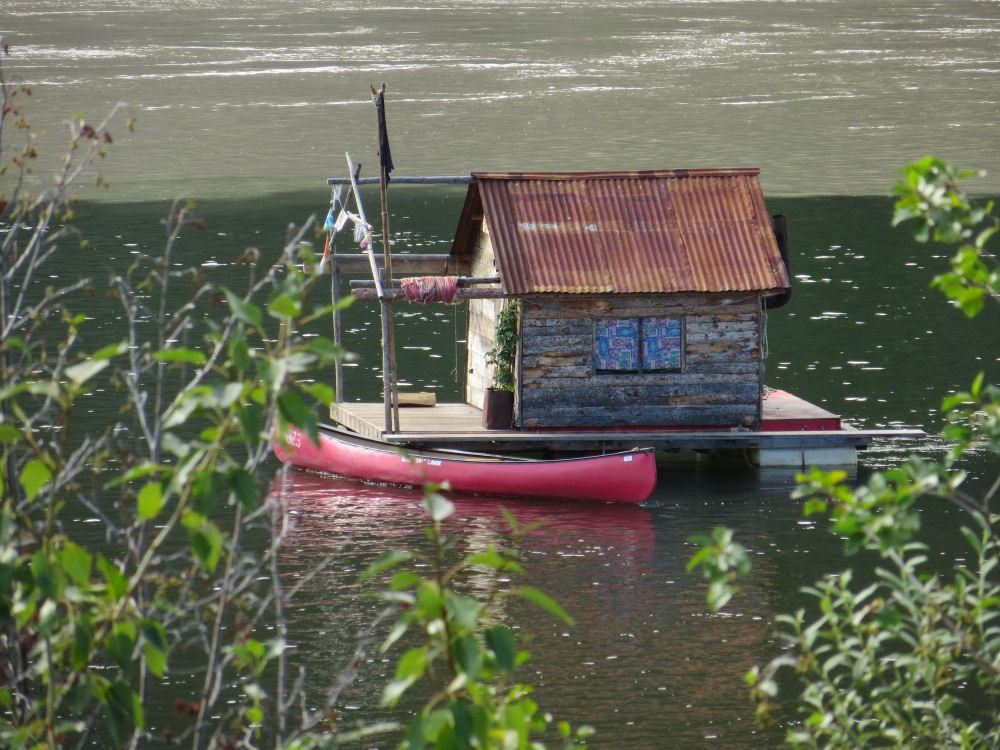
A native houseboat anchored in the Yukon River in Dawson City.
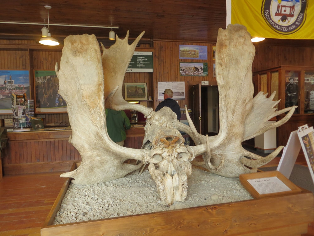
Racks of two bull moose who locked horns and couldn’t get them apart. They died in this eternal embrace.
This immature eagle was just standing around on the banks of the Yukon River.
There is no bridge across the yukon River because of the danger of massive ice jams in the winter, so the only way to get across is via this six-car ferry boat that runs continuously 24 hrs a day.
The valley into Dawson City is an endless trail of tailings left by the mighty dredges that plied this valley throughout much of the last century.
Dawson City viewed from the hillside on the west side of the river as we wer leaving town.
The Top of the World Road was seventy-five miles of gooey gray mud that stuck to every exposed part of our van.
The highway ended in Alaska with a choice of heading to Chicken or Eagle. Rumor has it that they had wanted to call the town Ptarmigan, but nobody knew how to spell it so they named it Chicken instead.
Two roads diverged in a foggy wood. We took the Chicken way out.
Here’s the happy camper who won the pancake toss and earned himself a free breakfast of sourdough pancakes and reindeer sausage, at our campground in Tok, AK.
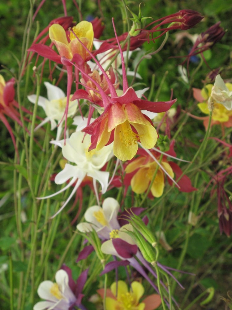
Dawson City is full of ornamental columbines and delphiniums in the backyard gardens and public spaces.
Delphiniums are everywhere in Dawson City this time of year.
Our downtown caampsite at the Goldrush RV Park in Dawson City. From here it was just a few blocks away from all the sights of this gold mining capital.
Onward viewpoints are those of its owner. You may share and adapt this article for non-commercial purposes, provided proper attribution is given. Attribution should include: